Trails Traveled: The Decalibron Combo / Difficulty: Black (Hard)
Distance: 7.25 miles round-trip, Elevation Gain: 3,700ft
Time: 5 hours, 30 minutes
Weather: Cloudy, Windy
- Mount Democrat (Elevation 14,148 feet – 28th tallest mountain in Colorado)
- Mount Cameron (Elevation 14,238 feet – unranked)
- Mount Lincoln (Elevation 14,286 feet – 8th tallest mountain in Colorado)
- Mount Bross (Elevation 14,172 feet – 22nd tallest mountain in Colorado)
- Summit
- Fourteener
- Combo
- Cloudy
- Windy
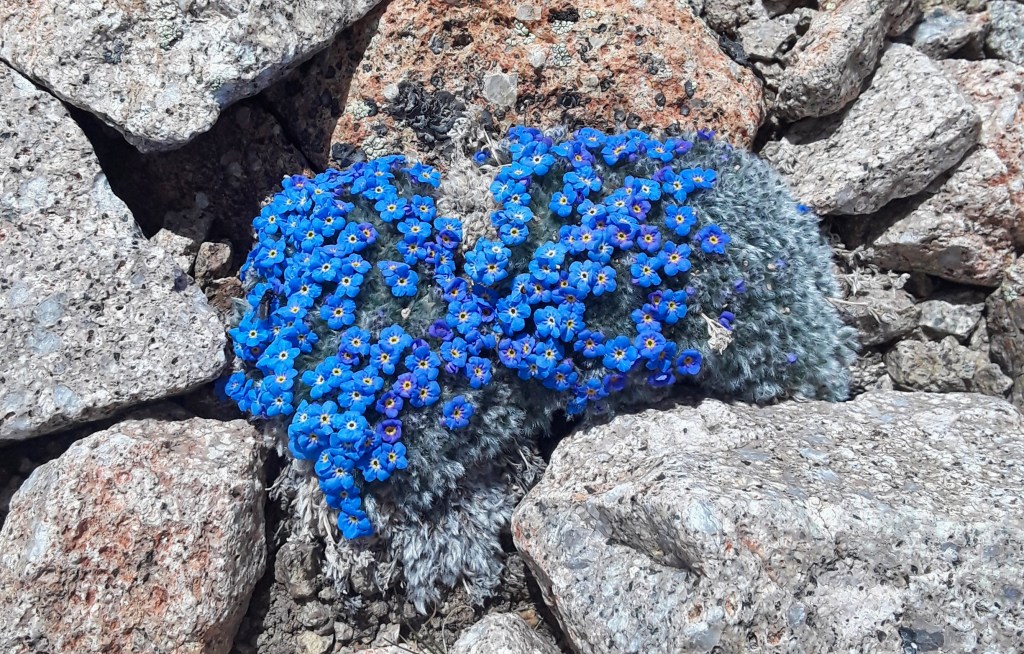
- Wildflowers
- Some snow
- Kite Lake Campground
- Alma, Colorado
This Decalibron combo is the first “big” (read tall) hike I’ve taken in 2020. I have been thinking about, looking at, trying to plan out this hike for almost a year now. I had a day off of work without the kiddos and I didn’t want to waste it so I checked that the weather would hold out and I went for it!
I am so glad I did!
This was a hard hike, especially the parts with some steep elevation gain and decline. Going up Mount Lincoln at the outset of this hike was tough. The higher you get, the harder it is to breathe. There were points when I could feel my heart beating (pounding) in my head!
But I was able to stick to the plan after ascending Mount Lincoln, a beautiful mountain with great views of the entire Mosquito Range. If I came back and had a couple hours, I might hike just Mount Lincoln again. It was a strenuous uphill hike with a satisfying summit.
From Lincoln, you hike back across the saddle you came up to that separates Cameron and Lincoln. Technically, Mount Cameron is unranked because its prominence, the elevation difference from nearby Mount Lincoln is less than 300 feet and because of its proximity. Cameron is a pretty tall mountain either way. Its a considerable hike between Democrat and Cameron where you lose some elevation, just to hike back up it and more to get to Cameron’s summit. The top of Mount Cameron is kind of boring. There are spectacular views, but the apex is barely discernible as the mountain top is a wide, round dome at its peak.
On to the tallest mountain in the Mosquito Range, Mount Lincoln. Mount Lincoln is the 8th tallest mountain in Colorado at 14,286 feet. The nice thing about the hike to Lincoln though is its proximity to Cameron. These two are similar in elevation and their summits are not far apart. So its an “easy” hike over to the summit of Lincoln, which is a more traditional pointed peak, with great views.
Lastly, on to Mount Bross. This mountain is known for the high winds that start to whip up on it, especially in the afternoon, when I was aiming to summit. Yeah, the winds were pretty intense up there, but for most of the hike, you hike around Cameron at a lower elevation before you make the summit approach, it was a non-issue. The most unsatisfying part of the hike was descending the trail to Mount Bross’ summit. It was brutal. It is very steep and every step you feel like your toenails are digging into your feet. I seriously expected more than one of my toenails to be bleeding or missing when I took off my shoes. To my astonishment, my toes and their nails were fully intact and unaffected.
Tip: always make sure you clip your toenails before a steep hike.
The hike took a little longer to conquer, about five and a half hours, but it was well worth it. And to do this one as my first of a new season, it makes me excited for many more (hopefully) to come in 2020.
– Jason