Trails traveled: Gibson Lake Trail, Difficulty: Moderate (Blue)
Out and Back, 6.0 miles round-trip, 1,640 feet of elevation gain
Time: 2 hours
Weather: Rainy, Overcast
- Rainy
- Thunder and Lightning
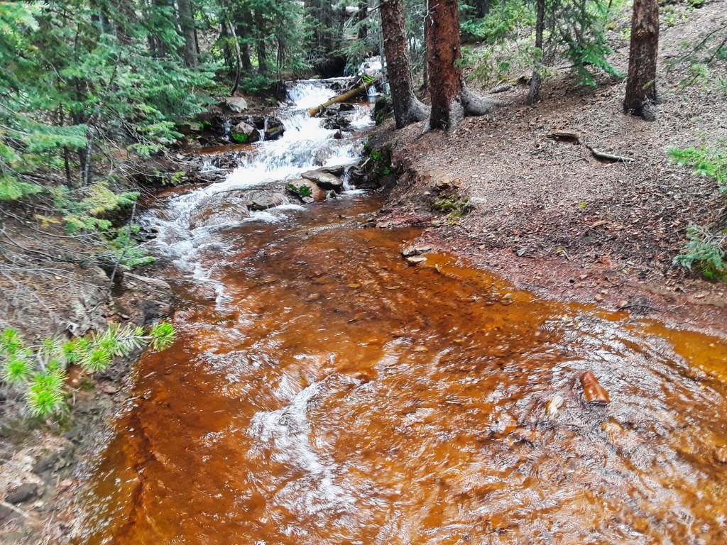
- Stream
- Creek
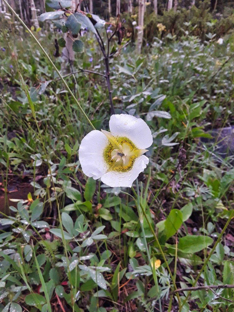
- Wildflowers
- Lake
- Did Not Finish (DNF)
- Overcast
- Cloudy
- 4×4 Trail
- Campground
I was excited to see Gibson Lake, but alas, it was not to be.
The hike to Gibson Lake is about 7.5 miles in total from a campground parking area to the lake. When I arrived at the parking lot, there were some ominous clouds overhead. When I finally reached the official trail it started to drizzle.
After another 3 miles was when things got bad. The drizzle turned into a downpour and then the thunder and lightning started. I waited a couple minutes to see if it would get better, when things worsened I decided to turn back.
I jogged back to the trailhead to get off the trail before the storm got worse. It was cold and I was soggy. I enjoyed about 15 minutes hanging out in the car with the heat blasting before heading home.
Gibson Lake will have to wait for another day. But it was actually a good hike. It was a good length and some elevation gain. There is a thirteener (Whale Peak) at the base of the lake that I might attempt when I return. I got some great pictures of Columbines and Mariposa Lilies. Check them out below.


Too bad you didn’t reach the lake. But you did take some nice pictures.
LikeLiked by 1 person
Yeah, it wasn’t a total loss 🙂
LikeLiked by 1 person